
RPM AERIAL SERVICES
Geophysics
RPM Aerial offers comprehensive surveying solutions tailored to meet the diverse needs of our clients, guaranteeing the most precise, efficient and versatile solution for every situation.
Geophysics Services
Geophysics Services
Magnetometer Surveys
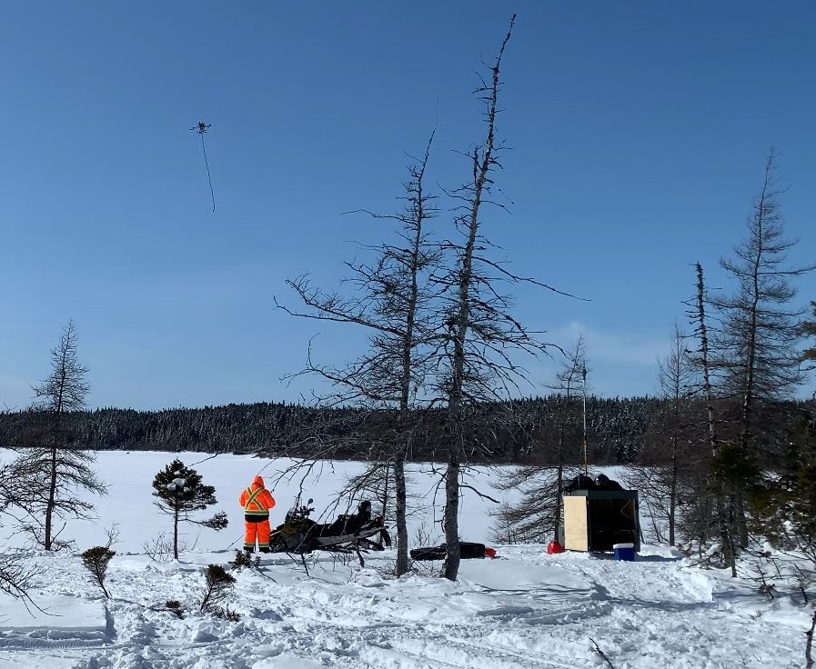
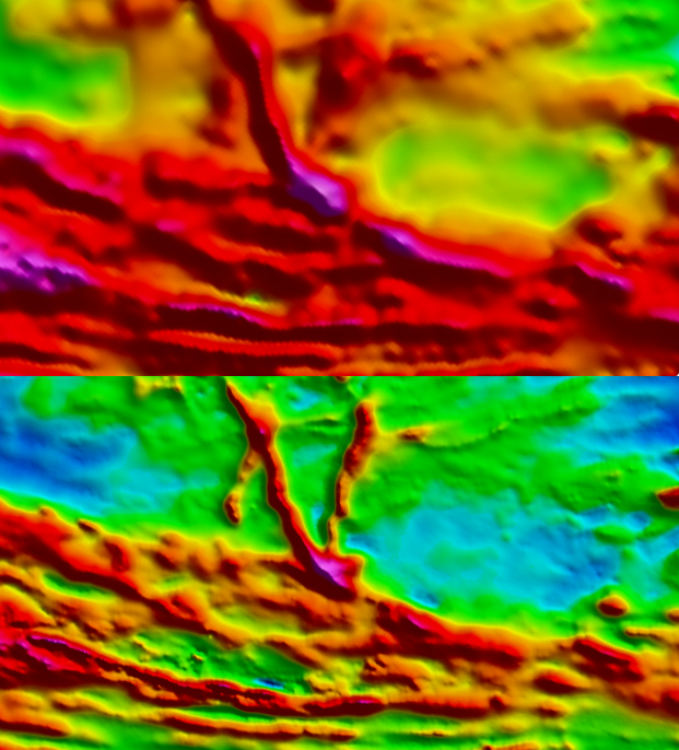
Aeromagnetic (MAG) are highly specialized geophysical surveys that measure the total intensity of the Earth’s magnetic field. They are often used in mineral exploration to get a detailed look into geological subsurface structures to advance mineral exploration activities. However, MAG surveys can also be used in various industries beyond just mineral exploration. In specific instances, MAG can detect ferrous materials in underground infrastructure, enhancing efficiency and reducing costs for construction and maintenance projects as well as for environmental applications for land remediation and cleanup activities.
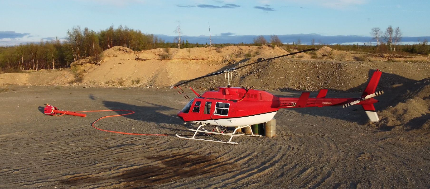
RPM Aerial’s experienced team can offer a mix of MAG services to meet client’s needs regarding budgets, time constraints, data density or data quality, including offering EXTREME MAG surveys utilizing a combination of advanced technologies and techniques, via Helicopter, RPAS/Drone and Walked systems.
From uncovering significant finds in Central Newfoundland’s gold belt to identifying unexploded ordinance, industry professionals rely on RPM Aerial for safety and professionalism.
RPM Aerial is the 2021 Canadian Institute of Mining (CIM), Metallurgy & Petroleum (NL Branch) award winning Service Provider of the Year for its excellence in customer service and MAG data acquisition.
VLF Surveys
RPM Aerial offers Very Low Frequency (VLF) electromagnetic surveys, a critical subsurface exploration and mapping system used to support mineral exploration and geotechnical investigations.
VLF is an electromagnetic method that relies on globally transmitted currents inducing secondary responses in conductive geologic deposits/structures. These responses can also be used to identify subsurface water bodies and conductive infrastructure. Another use is for contaminant mapping, where contaminants often have lower resistivity than surrounding fluids.
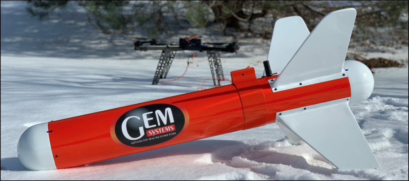
RPM Aerial currently offers combined helicopter MAG & VLF services and will soon offer drone-based VLF utilizing the NEW GEM Systems GSM-90AVU.
Please reach out today to see how our VLF services can help your organization.
TDEM Surveys
RPM Aerial employs Time Domain Electromagnetic (TDEM) surveys for subsurface exploration, helping map geology, detect groundwater, identify mineral deposits, and assess environmental risks such as saltwater intrusion.
This service is available to the mineral exploration industry through RPM Aerial’s partnership with Axiom Group.
Radiometric Surveys
Radiometric surveys measure the natural radiation from rocks and soil, aiding mineral exploration by detecting radiation from specific minerals like uranium and potassium.
These surveys are vital for the exploration sector, enabling the identification of areas with potential mineral deposits conducted from ground or aerial platforms for extensive area coverage.
RPM Aerial offers this service across various industries through its partnership with Axiom Group.
Gravity Surveys
Gravity surveys measure gravitational force variations to provide insights into subsurface geology, mineral deposits, and potential petroleum reservoirs. Utilizing gravimeters, the collected data aids in creating maps that highlight geological structures and resource locations.
RPM Aerial makes this service available to mineral exploration companies via its strategic partnership with Axiom Group.
